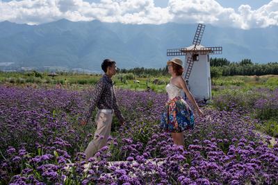
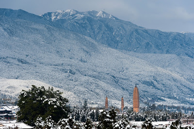
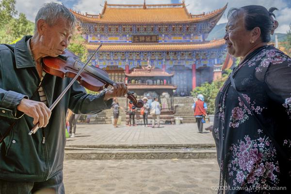
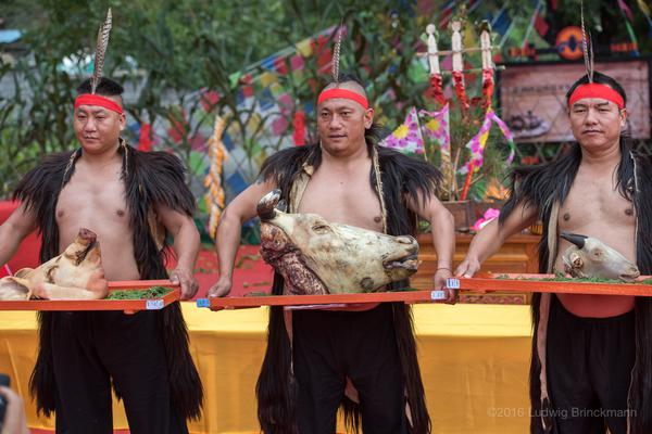
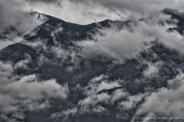
Cangshan 苍山 to the west and Erhai 洱海 to the east frame the Dali Bai homeland.
The Cangshan range runs roughly north to south, with 19 peaks and 18 streams running in between:
| Peaks | Streams | Notes |
| 云弄峰 | ||
| 霞移溪 | Flows south of 周城 where it is channeled, then into Erhai north of 仁里邑. | |
| 沧浪峰 | ||
| 万花溪 | Flows south of 凤阳, then passes 唐梅寺, flows north of 喜洲 and flows into Erhai in 沙村. This village derives its name from the sandy sediment that the stream carried down to form a small fan into Erhai. | |
| 五台峰 | ||
| 阳溪 | Flows south of 朝阳 village, then through 作邑 and into Erhai north of 古生. | |
| 莲花峰 | ||
| 茫涌溪 | Flows through 湾桥 and into Erhai at 石岭 | |
| 白云峰 | ||
| 锦溪 | Flows at the southern end of 磻溪 into Erhai. | |
鹤云峰 | ||
| 灵泉溪 | Flows through 银桥 and at 西城尾 into Erhai. | |
| 三阳峰 | ||
| 白石溪 | North of 双阳 then flows into Erhai north of 阳波. | |
| 兰峰峰 | ||
| 双鸳溪 | South of 无为寺, flowing into Erhai north of 白塔邑. | |
| 雪人峰 | ||
| 隐仙溪 | North of the Dali golf club, then flowing into Erhai south of 马久邑. | |
| 应乐峰 | ||
| 梅溪 | North of 三塔 and flowing into Erhai no far from 马久邑. | |
小岑峰 | ||
| 桃溪 | North of the Dali horse racing ground, north of 古城, then flowing into Erhai just northwest of 下鸡邑. | |
| 中和峰 | ||
| 中溪 | Flowing south of 中和寺, then forming the northern part of the 古城 moat, then towards 才村. | |
| 龙泉峰 | ||
| 绿玉溪 | North of the Dali University area, then south of 古城 and flowing into Erhai at 龙龛码头. | |
| 玉局峰 | ||
| 龙溪 | South of the Dali University area, then flowing into Erhai north of 罗久邑. | |
| 马龙峰 | ||
| 清碧溪 | Flows north of 七里桥 and then north of 大庄. | |
| 圣应峰 | ||
| 莫残溪 | South of 感通寺 and then south of 大庄. | |
| 佛顶峰 | ||
| 葶溟溪 | North of 太和, once serving as northern protection for the Nanzhao capital and then trough 崇益. | |
| 马耳峰 | ||
| 阳南溪 | North of 佛图塔 and then through 下关 flowing out at the new southern end of the Erhai Eco-Zone. | |
| 斜阳峰 |