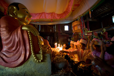
Watersplashing in Yongping
Ask for the Watersplashing Festival, or Poshuijie 泼水节, and everyone will tell you to go to Jinghong, capital of Yunnan's Xishuangbanna Dai Autonomous Region: the 'biggest and best' Dai celebrations to mark their New Year are taking place there. And big it is. Thousands of Han Chinese and foreign tourist flock to Jinghong every year. Jinghong's Poshuijie certainly is big -- and very commercial. If big crowds and big events are your thing, go to Jinghong.
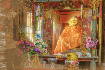
The temple in Mangdao 芒岛, built in 1899, is one of few surviving examples of Dai Buddhist temples having survived the Cultural Revolution by being converted into grain storage.
Fei Hsiao-Tung and Chang Chih-I: Earthbound China: A Study of Rural Economy in Yunnan

Fei is the father of modern sociology in China: western-trained, he came to Yunnan at the end of the 1930s when China's eastern universities relocated west. In "Earthbound China" he applied modern empirical techniques that he had pioneered around Shanghai to the Chinese hinterland. The economical development, and subsequent societal changes, of three un-named, but typical villages in Yunnan is analyzed in great detail in this fascinating study.
A number of Chinese historic texts covering life and politics in Yunnan have survived over the centuries. I have translated a few of them.
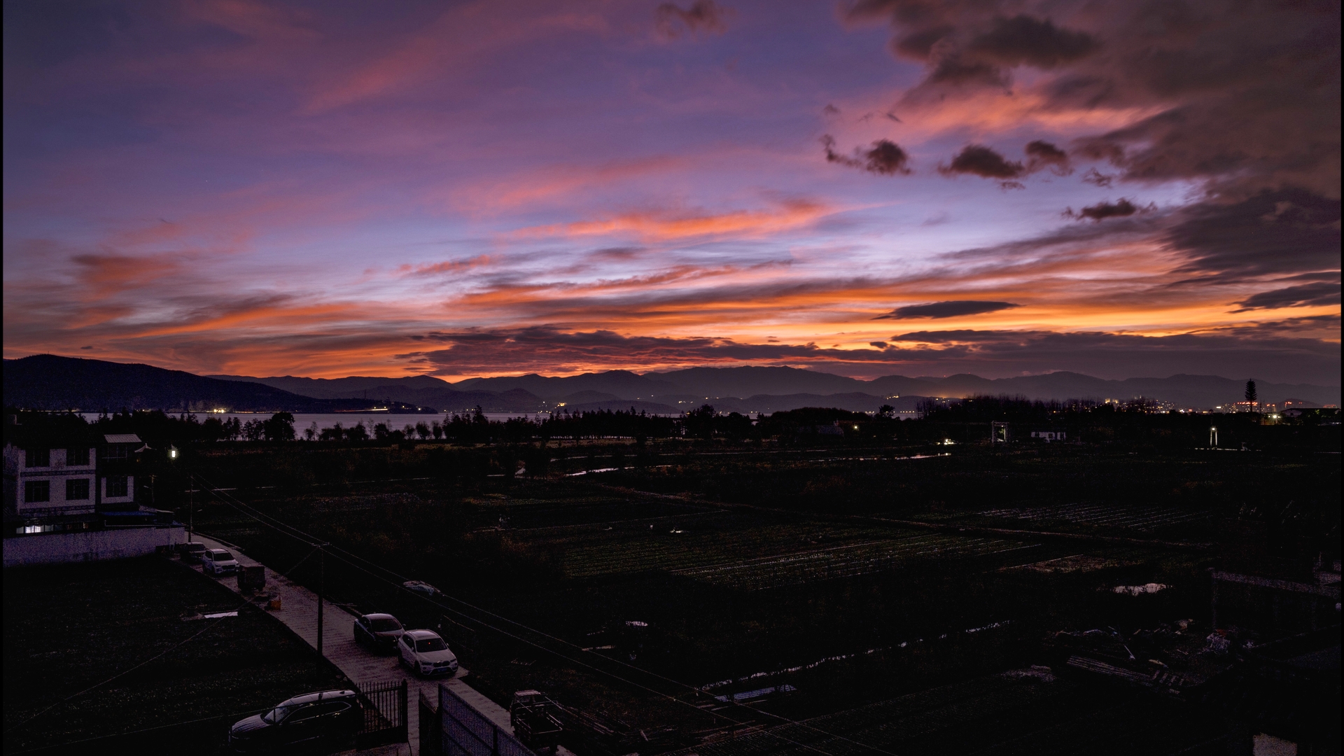
Remote temple on mountain top, site of religious gathering at the end of the New Year period.

The Danxia, or red sandstore, cliffs around Liming are a hikers' and climbers' paradise that is just now being discovered.
Brenda McLean: George Forrest, Plant Hunter

George Forrest, perhaps the most successful plant collector of his time, left little written about his numerous journeys to Yunnan, so this well-illustrated book fills in much needed detail about his life.
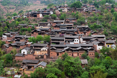
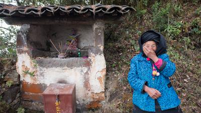
Nuodeng is an ancient Bai salt producing village in Yunlong.

With its well-preserved architecture and tranquil atmosphere, Weishan's capital is Yunnan's most beautiful county town.
Upcoming Festivals
| Name | Date |
|---|---|
| Litang Horse Racing | 01 Aug |
| Benzhu Worship | 03 Aug |
| Benzhu Worship (Jianchuan Area) | 04 Aug |
| Benzhu Worship | 04 Aug |
| Benzhu Worship | 05 Aug |
| Benzhu Worship | 05 Aug |
| Benzhu Worship | 05 Aug |
| Benzhu Worship | 05 Aug |
| Red Rice Festival | 06 Aug |
| Torch Festival | 06 Aug |
| Taliu Pancake Festival | 06 Aug |
| Mishi Festival | 06 Aug |
Markets this Tuesday
| Dali | 大理 |
|---|---|
| Duomei | 朵美 |
| Fuheng | 富恒 |
| Zhongsuo | 中所 |
| Junhua | 均化 |
| Liandong | 炼洞 |
| Fengyu | 风羽 |
| Yongping | 永平县 |
| Longjie | 龙街 |
| Guanping | 关平 |
| Liuhe | 六合 |
| Baofeng | 宝丰乡 |
| Longjie | 龙街 |
| Heqing | 鹤庆县 |
| Madeng | 马镫 |
| Binju | 宾居 |
| Shuijing | 水井 |
| Zuòyì | 作邑 |
| Deju | 德苴乡 |
| Puping | 普淜镇 |
| Honghe | 红河 |
|---|---|
| Niujiaozhai | 牛角寨 |
| Wantang | 湾塘乡 |
| Caoba | 草坝镇 |
| Sancun | 三村 |
| Mingjiu | 鸣鹫镇 |
| Sankeshu | 三棵树 |
| Dayangjie | 大羊街 |
| Dixibei | 地西北 |
| Baoshan | 保山市 |
|---|---|
| Manglong | 芒龙 |
| Lincang | 临沧 |
|---|---|
| Cangyuan | 沧源佤族自治县 |
| Yalian | 亚练乡 |
| Quannei | 圈内 |
| Shuangjiang | 双江拉祜族佤族布朗族傣族自治县 |
| Zhenkang | 镇康县 |
| Junsai | 军赛乡 |
| Zhaotong | 昭通 |
|---|---|
| Shuanghe | 双河 |
| Nujiang | 怒江 |
|---|---|
| Gudeng | 古登 |
| Bingzhongluo | 丙中洛 |
| Lishadi | 利沙底乡 |
| Diqing | 迪庆 |
|---|---|
| Zhonglu | 中路 |